


Managing topsoil and preventing washouts used to be a guessing game based on old survey maps and luck. You would throw down seed, roll out straw, and hope the next rainstorm didn’t undo your hard work. Today, land stability is a highly precise science. The materials we use have evolved incredibly, with advanced geosynthetics providing reliable stabilization for even the toughest slopes. But the real revolution isn’t just in the physical materials; it’s how we plan the entire project before setting foot on the site. Let’s look at how modern technology is changing the way we map, model, and execute property management strategies.
Mapping with Drones and LiDAR
Getting an accurate picture of a landscape is the first hurdle in any project. In the past, surveying an uneven plot took days of manual labor with a tripod and transit level. Now, we just send a drone up into the sky. Unmanned aerial vehicles equipped with LiDAR technology can map hundreds of acres in a single afternoon. LiDAR pulses lasers down to the ground to measure exact elevations, penetrating right through dense tree canopies to find the true bare earth underneath.
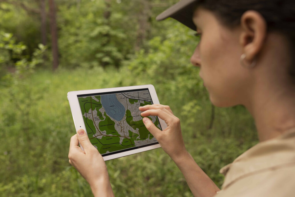
This creates a highly detailed, three-dimensional topographical map of the site. When you’re trying to figure out where rainfall will channel and pool, having millimeter-level accuracy of the ground’s contours is everything. You can pinpoint the exact steepness of a slope and identify vulnerable ravines prone to washouts. It gives project managers a perfect digital twin of the property to work with, eliminating the guesswork that often leads to failed retaining walls.
Hydrological Modeling Software
Once you have a perfect digital map of your terrain, the next step is figuring out how water will behave when it hits the dirt. This is where advanced hydrological modeling software comes into play. Instead of waiting for a storm to see where the runoff goes, engineers run digital simulations right on their computers.
You can input specific data about the local climate, soil type, and expected rainfall from a severe storm event. The software then runs a simulation, showing you exactly how the water will flow, where it will gain speed, and where it will likely cause damage. If the simulation shows a severe washout happening on a specific corner, you can digitally place different control measures into the program to see how they change the outcome. You can test drainage swales, check dams, or vegetation barriers in the virtual world. By the time you finalize the plan, you know exactly what will work.
GPS-Guided Earthmoving Equipment
The technology doesn’t stop in the planning office; it rides right along into the cab of the construction equipment. When it’s time to grade the land and install your control measures, precision is vital. Digging a drainage trench even a few inches too shallow can render it useless during a downpour. To solve this, modern earthmoving equipment integrates directly with the digital plans created during the mapping phase.
Bulldozers and excavators are equipped with GPS receivers and sensors on their blades. The operator has a screen displaying the 3D model of the project. As they move the earth, the GPS tells them exactly how deep to cut to match the digital design perfectly. Some machines even automate the blade control, taking over the tiny adjustments needed to get the slope right. This means the physical landscape ends up matching the computer simulation flawlessly.
Smart Soil Sensors
While drones and software handle the big picture, micro-technology takes care of the hidden details beneath the surface. Smart soil sensors are becoming a popular tool for monitoring the ongoing health and stability of a site. These small wireless devices are buried at strategic points across a hillside or embankment. They constantly measure the moisture content, temperature, and slight movements of the soil.
If the ground becomes saturated after days of rain, the sensors send a real-time alert to a smartphone. This early warning system lets property managers know a slope is at risk of failing before any visible cracks appear on the surface. It allows you to dispatch a crew to reinforce the area or divert the water before a landslide occurs. It’s a proactive approach that prevents small issues from turning into expensive disasters.
Virtual Reality Visualization
Explaining a complex grading and drainage plan to a property owner is often difficult when you only have flat blueprints. Virtual reality technology is bridging that communication gap beautifully. Using the same 3D models created for the grading equipment, planners can now generate immersive virtual reality environments.
Stakeholders can put on a headset and literally walk the property before a single piece of earth is moved. They can stand at the bottom of a virtual hill and see exactly what the proposed retaining walls will look like or watch a simulated rainstorm to see how the new swales handle the water. This level of visualization ensures everyone involved in the project understands the goal and agrees on the solution.
Managing the forces of nature will always be a tough job. Water is persistent and will always find the easiest path downhill, but we no longer have to rely on trial and error to keep our landscapes intact. By embracing drones, predictive software, smart sensors, and GPS-guided machinery, we can design solutions that work perfectly the first time. Integrating these innovative tools saves money, reduces the timeline of the project, and provides a reliable defense against unpredictable elements.