
Ever wanted to see what the world looks like right now, from way up high? A live satellite map can show you just that. It’s like having a window to space, letting you check out weather patterns, plan trips, or just explore cool places. We’ll look at how these maps work and what you can do with them.
Key Takeaways
- See real-time weather, like storms and clouds, using a live satellite map.
- Explore detailed maps of anywhere on Earth with satellite views.
- Use a live satellite map for planning trips and finding your way around.
- Get helpful travel tools like world time and currency converters.
- Learn about famous places, mountains, and capitals from a satellite perspective.
Experience Earth Through a Live Satellite Map
It’s pretty wild to think we can see our planet from space, right? With a live satellite map, you get to do just that, but in real-time. This isn’t just about looking at pretty pictures; it’s about understanding the dynamic world we live in.
Real-Time Global Weather Systems
Ever wonder what’s happening with the weather across the globe? Live satellite maps show you. You can see weather systems moving, like big storm fronts or just large areas of cloud cover. It’s like having a direct feed from the sky, showing you what’s developing right now. You can track clouds as they drift and see how weather patterns are forming. It’s a fascinating way to get a sense of the planet’s constant activity. You can check out NOAA’s interactive map for up-to-date views of global weather. It combines data from U.S. satellites, giving you a clear picture.
Tracking Storms and Cloud Formations
This is where live satellite maps really shine. You can follow storms as they brew and move across continents or oceans. Seeing a hurricane’s path or a massive thunderstorm system develop from above is quite something. It helps you visualize the scale of these events. You can also see how clouds form and dissipate, painting a constantly changing picture of the atmosphere. It’s a great tool for anyone curious about meteorology or just wanting to stay informed about significant weather events.
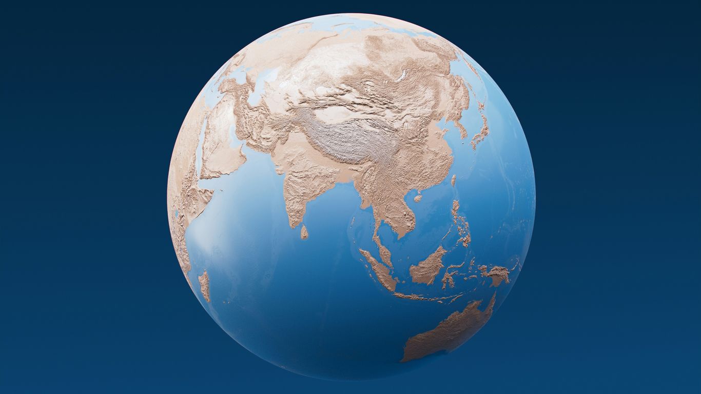
Interactive Earth Views from Space
Beyond just weather, these maps offer a unique perspective. You can zoom in on different parts of the world and see them from a satellite’s point of view. It’s not just static imagery; it’s a living, breathing view. You can explore different landscapes, cities, and natural wonders without leaving your chair. Some tools even let you add layers to see different types of information. It’s a way to travel the world virtually, getting a feel for places you might want to visit or just learn more about. You can explore the world with advanced satellite maps and detailed global imagery.
Navigate Your World with Advanced Satellite Mapping
Ever feel like you’re just guessing where you’re going? Satellite maps can really change that. They give you a bird’s-eye view of pretty much anywhere on the planet, making it way easier to figure out your surroundings. It’s like having a super-detailed, always-updated map right in your pocket.
Detailed Global Imagery and Landmarks
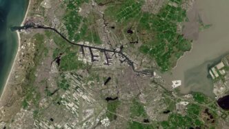
These maps aren’t just blobs of color; they show you the nitty-gritty. You can zoom in to see roads, buildings, and even natural features like rivers and mountains with surprising clarity. It’s amazing for getting a feel for a place before you even get there. You can find famous spots or just check out your own neighborhood from a new angle. It’s a great way to get a real sense of scale and distance, helping you understand the layout of cities and countries.
Trip Planning and Destination Preview
Planning a trip? Satellite maps are a game-changer. Instead of just looking at a flat street map, you can see the actual terrain. This helps you figure out the best routes, identify potential points of interest, and even get a sense of what the area looks like. You can preview your hotel’s surroundings or scout out hiking trails. It makes planning feel less like a chore and more like an adventure. You can even use tools to calculate distances between points, which is super handy for figuring out travel times.
Accurate Positioning and Exploration Tools
Beyond just looking at maps, these tools help you know exactly where you are. Using GPS, they can pinpoint your location with accuracy. This is useful for all sorts of things, from finding your way back to your car in a big parking lot to exploring off the beaten path. Many apps also include features like:
- My Location Finder: Quickly see where you are using GPS and nearby landmarks.
- Parking Locator: Save the spot where you parked so you don’t lose your car.
- Distance Measurement: Calculate the distance between two or more points on the map.
- Compass: Always know which direction you’re facing.
These tools turn a simple map into a powerful exploration device, letting you discover new places with confidence.
Enhance Your Journeys with Live Map Features
When you’re out and about, having the right tools can make all the difference. Live satellite maps aren’t just for looking at pretty pictures of Earth; they come packed with features that can really help you get around.
GPS Navigation and Route Planning
Forget fumbling with paper maps or getting lost in unfamiliar territory. Live satellite maps offer robust GPS navigation. You can get step-by-step directions, whether you’re walking, driving, or cycling. The system plots out the most efficient routes, saving you time and gas. It’s like having a personal guide right in your pocket, showing you exactly where to go.
Location Finding and Parking Assistance
Ever circled a parking lot for ages, trying to remember where you left your car? Many live map applications include a parking locator. You can mark your parking spot and get directions back to it later. This feature is a lifesaver in busy city centers or large event venues. Plus, finding your current location is usually quick and accurate, using nearby landmarks and real-time map updates to orient you.
Speed and Direction Monitoring
For those who like to keep an eye on their travel stats, live maps often include a speedometer and compass. You can check your current speed to stay within limits or see which direction you’re heading. This is particularly useful when exploring off the beaten path or when you just want to confirm your bearings. These tools turn your device into a more complete travel companion. You can also use these apps to plan your trips and preview destinations before you even leave home.
Discover Global Insights with Satellite Data
Beyond just seeing where you are, live satellite maps offer a window into the wider world. You can really get a feel for different places without even leaving your chair. It’s like having a global passport right on your screen.
Want to know what time it is in Tokyo or how much your dollars are worth in Euros? Satellite mapping tools often include handy utilities for this. You can check world clocks to see the current time in major cities and use currency converters to figure out exchange rates. It’s pretty neat for planning trips or just satisfying your curiosity.
Here’s a quick look at some of the extra info you can find:
- World Time: See the current time in different cities and countries around the globe.
- Currency Conversion: Easily swap amounts between different country currencies.
- Country Facts: Access basic details and interesting tidbits about various nations.
These features turn a simple map into a mini-encyclopedia, making it easier to understand and connect with the world around us.
Leveraging Technology for Live Satellite Views
So, how does all this amazing real-time satellite stuff actually work? It’s not magic, though it sometimes feels like it. Behind those stunning views are some pretty clever technologies working together. Think of it like a giant, super-powered camera system orbiting our planet.
Utilizing Mapping APIs for Rich Data
Websites and apps that show you live satellite maps don’t just pull images out of thin air. They use something called Application Programming Interfaces, or APIs. These are like digital messengers that let different software programs talk to each other. For mapping, services like Google Maps Embed and ArcGIS provide the building blocks. They offer ways to display maps, drop pins on specific locations, or show a general area. These APIs are what allow developers to build interactive experiences on top of raw satellite data. It’s how you can zoom, pan, and explore without needing to be a tech wizard yourself. They handle a lot of the heavy lifting, so you just get to enjoy the view.
Browser Compatibility for Earth Exploration
Not all browsers are created equal, and getting a smooth satellite map experience across different ones can be a challenge. Early on, things like the Google Earth plugin were common, but they had specific requirements, like needing certain operating systems. Nowadays, web technologies have gotten much better. Most modern browsers can handle displaying complex map data, including satellite imagery, without needing extra downloads. This means you can usually just open a website and start exploring, whether you’re using Chrome, Firefox, or Safari. It’s all about making sure the technology works for everyone, no matter what device they’re using to look at our amazing planet.
Understanding Data Sources for Imagery
Where does all that satellite imagery come from? It’s a mix of sources. Government agencies like NOAA (National Oceanic and Atmospheric Administration) provide a lot of the weather-related satellite data. Private companies also operate their own satellites, capturing high-resolution images of the Earth’s surface. These different data streams are then processed and combined to create the maps we see. It’s a constant flow of information:
- Weather Satellites: These track clouds, storms, and atmospheric conditions.
- Earth Observation Satellites: These capture detailed surface imagery, showing land, water, and man-made structures.
- Data Processing: Raw satellite feeds are cleaned up, stitched together, and made ready for display.
This continuous stream of data is what makes live satellite maps so dynamic and informative. It’s a fascinating look at how technology helps us see our world from a whole new perspective.
Explore Earth’s Features with a Live Satellite Map
Ever wondered what the world looks like from way up high? A live satellite map lets you do just that, offering incredible views of our planet’s most striking natural and man-made wonders. It’s like having a front-row seat to geological history and human achievement, all from your screen.
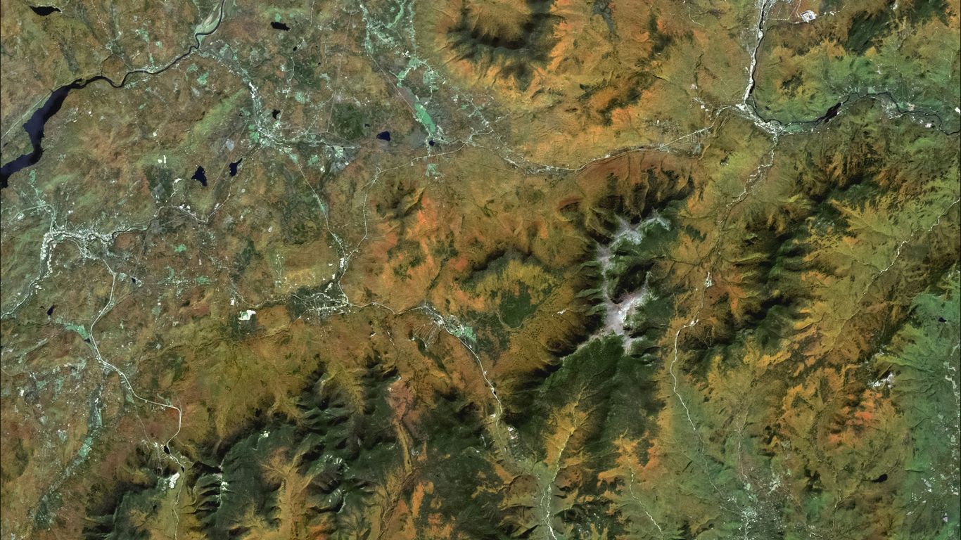
Detailed Views of Mountains and Peaks
Mountains are Earth’s giants, and satellite maps show them in amazing detail. You can zoom in on famous ranges like the Himalayas, seeing the jagged peaks and deep valleys. It’s fascinating to trace the routes of famous climbers or just admire the sheer scale of these natural formations. You can even see snow cover and glaciers, giving you a sense of the harsh conditions at high altitudes. It really puts into perspective how massive these landforms are.
Comprehensive List of World Capitals
Looking for a quick way to see where the world’s capitals are? Satellite maps make it easy. Instead of just a dot on a flat map, you get a real view of the city nestled within its country. You can see the urban sprawl, major rivers, and surrounding landscapes. It’s a great way to get a feel for a place before you even think about visiting. You can quickly pull up information on any capital city, seeing its location relative to other major cities or geographical features.
Visualizing Iconic Landmarks and Structures
From ancient wonders to modern marvels, satellite maps bring iconic landmarks to life. Imagine seeing the Great Pyramids of Giza from above, or the sprawling complex of Machu Picchu perched high in the Andes. You can also check out modern engineering feats like the Panama Canal or the Golden Gate Bridge. It’s a fantastic way to explore places you might only ever see in pictures. This kind of detailed view helps you appreciate the scale and context of these famous sites, making them feel more real than ever before. You can even use these maps for trip planning, getting a bird’s-eye view of your destination before you go, which is pretty neat for exploring new places.
Your Window to the World
So, there you have it. Live satellite maps are pretty neat, right? Whether you’re checking out the weather, planning a trip, or just curious about what’s happening on the other side of the planet, these tools give you a direct look. It’s like having a super-powered pair of binoculars for the whole Earth, all from your computer or phone. It really makes you realize how connected everything is and how much there is to see. Give it a try next time you wonder what the sky looks like over the ocean or want to see a famous landmark from above. It’s a simple way to explore without even leaving your chair.
Frequently Asked Questions
What exactly is a live satellite map?
Imagine looking down at Earth from space, but in real-time! A live satellite map uses pictures taken from satellites that are orbiting our planet right now. It shows you what’s happening on the ground, like weather patterns, clouds, and even cities, as it’s happening.
Can I use a live satellite map to track storms?
Absolutely! These maps are fantastic for watching storms develop and move. You can see where the clouds are gathering and how weather systems are changing, which is super helpful for staying aware of what’s going on with the weather.
How can a satellite map help me plan a trip?
It’s like having a virtual tour before you go! You can zoom in on your destination to see what it looks like from above, check out landmarks, and get a feel for the area. It helps you know what to expect when you arrive.
Does a live satellite map show me where I am?
Yes, many satellite map tools have GPS built-in. This means they can pinpoint your exact location on the map, show you which way you’re headed, and even help you find the quickest way to get somewhere.
What kind of interesting places can I discover?
You can explore almost anything! From famous landmarks like the Eiffel Tower or the Pyramids to natural wonders like mountains and oceans, or even just explore different countries and cities around the world. It’s a great way to learn about geography.
Are live satellite maps hard to use?
Not at all! Most live satellite map services are designed to be easy to use, often working right in your web browser. You can usually just search for a place or zoom around the globe with your mouse or finger, similar to how you might use other online maps.