

When an investor or developer looks at a commercial building or a vacant plot of land, they need to know exactly what they’re buying into. Hidden defects, structural flaws, or topographical challenges can easily turn a lucrative deal into a financial nightmare, and that’s why bringing in professional engineers to conduct a thorough property study is such a critical step in the due diligence process. In the past, this meant an engineer walking the site with a clipboard, a tape measure, and a flashlight. Today, the landscape of structural and site assessments looks entirely different. Modern engineers rely on a sophisticated arsenal of technology tools to look beyond what the naked eye can see. These advancements don’t just speed up the inspection process; they provide a level of accuracy and detail that was previously impossible to achieve. Let’s explore the cutting-edge technology that engineers bring to the field to evaluate a site from the ground up.
Unmanned Aerial Vehicles and Drones
Getting a comprehensive view of a large commercial roof or an expansive tract of land used to require expensive scaffolding or renting a helicopter. Now, engineers simply unpack a drone. Unmanned aerial vehicles have revolutionized how site inspections operate. By flying a drone over a building, an engineer can capture high-resolution imagery and 4K video of hard-to-reach areas safely from the ground. They’ll easily spot cracked roof membranes, damaged HVAC units, or clogged drainage systems without ever climbing a ladder. When evaluating raw land, drones equipped with specialized mapping software can fly in a pre-programmed grid to create highly accurate topographic maps. This aerial perspective gives the engineering team a complete understanding of the site’s elevation changes and natural drainage patterns, which is vital information before any new construction begins.
3D Laser Scanning and LiDAR
When a project involves renovating an existing structure, having precise measurements is everything. Traditional measuring tools leave room for human error, especially in complex spaces with vaulted ceilings or irregular floor plans. To capture the exact geometry of a space, engineers turn to 3D laser scanning, often utilizing LiDAR technology. A laser scanner sends out millions of light pulses per second, measuring the exact time it takes for the light to bounce back from the surrounding surfaces. This creates a detailed digital replica of the building known as a point cloud. Engineers can then import this digital twin into their design software. Because they’ve captured the exact dimensions of every wall and beam, they can plan renovations or identify structural sagging with pinpoint accuracy. It’s a technology ensuring every subsequent engineering calculation is based on flawless spatial data.
Thermal Imaging Cameras
Some of the most expensive building problems are completely invisible to the human eye. Water intrusion, missing insulation, and overheating electrical components won’t always leave a visible mark on the drywall until the damage is already severe. To see behind the walls, engineers rely on thermal imaging cameras. These specialized devices detect the infrared energy emitted by objects, displaying temperature differences as a color-coded heat map. If there is a slow leak in the roof allowing water to pool behind the ceiling, the thermal camera will display that damp area as a distinct dark blue or purple spot because the evaporating water cools the surrounding material. Similarly, if an electrical panel is overloaded and running dangerously hot, it’ll glow bright red or white on the screen. This non-destructive testing method allows engineers to identify critical failures and pinpoint exactly where repairs are needed without tearing down a single wall.
Ground Penetrating Radar
What lies beneath the soil is just as important as what stands above it. Before expanding a facility or pouring a new foundation, engineers need to know what they’re dealing with underground. Hitting an unmarked utility line or discovering buried storage tanks during excavation causes severe delays and poses serious safety risks. Ground penetrating radar solves this underground mystery. The engineer pushes a GPR cart across the surface, which sends high-frequency radio waves into the earth. When these waves hit an object or a change in material density, they bounce back to the receiver. The system translates these signals into a visual profile of the subsurface. This allows the team to accurately map out buried water pipes, electrical conduits, old foundations, and even subterranean voids. Knowing exactly what is hiding beneath the pavement ensures the site is safe for development.
Cloud-Based Inspection Software
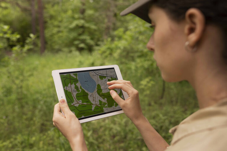
While hardware like drones and scanners gather the data, the software brings it all together. The days of manually typing up handwritten notes are long gone. Modern engineers use rugged tablets loaded with cloud-based inspection software while they walk the site. As they identify issues, they’ll snap photos, drop digital pins on the building’s floor plan, and dictate notes directly into the app. Because the software connects to the cloud, the data syncs in real time with the rest of the engineering team back at the headquarters. A structural expert sitting at a desk miles away can review a photo of a rusted steel column the moment it’s taken in the field. This seamless collaboration drastically reduces the time it takes to compile the final report, delivering crucial information to the property buyer or owner much faster.
Elevating the Standard of Due Diligence
Evaluating a commercial property is a complex undertaking that requires a sharp eye and deep technical knowledge. While an engineer’s expertise will always be the most important part of the equation, the tools they use have elevated the entire process. By embracing drones, laser scanners, thermal cameras, and cloud software, they’ve eliminated the guesswork. They can look at a structure from the highest roof peak down to the soil beneath the foundation, delivering a comprehensive analysis that protects investors and ensures the safety of the building’s future occupants.