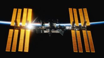
Understanding The GPS Satellite Network
So, how does that little box in your car or phone actually know where you are? It all comes down to a pretty neat system of satellites orbiting way above us. Think of it as a giant, invisible web spread across the sky, constantly sending signals down to Earth.
The Core Components of GPS
At its heart, the GPS system is made up of three main parts. First, you’ve got the satellites themselves, zipping around the planet. Then, there’s the ground control segment, which is basically the mission control keeping an eye on everything. And finally, there’s the user segment – that’s your GPS receiver, whether it’s in your phone, car, or a dedicated handheld device.
- Space Segment: This is the constellation of satellites. Originally, the plan was for 24 satellites, but the current operational system has more, usually around 31. They’re spread out in specific orbits so that no matter where you are on Earth, you can usually see several of them at once.
- Control Segment: This is the network of ground stations that track the satellites, monitor their health, and make sure their clocks are perfectly in sync. They send commands and updates to the satellites.
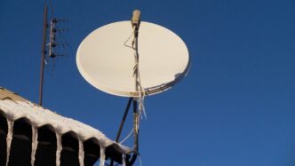
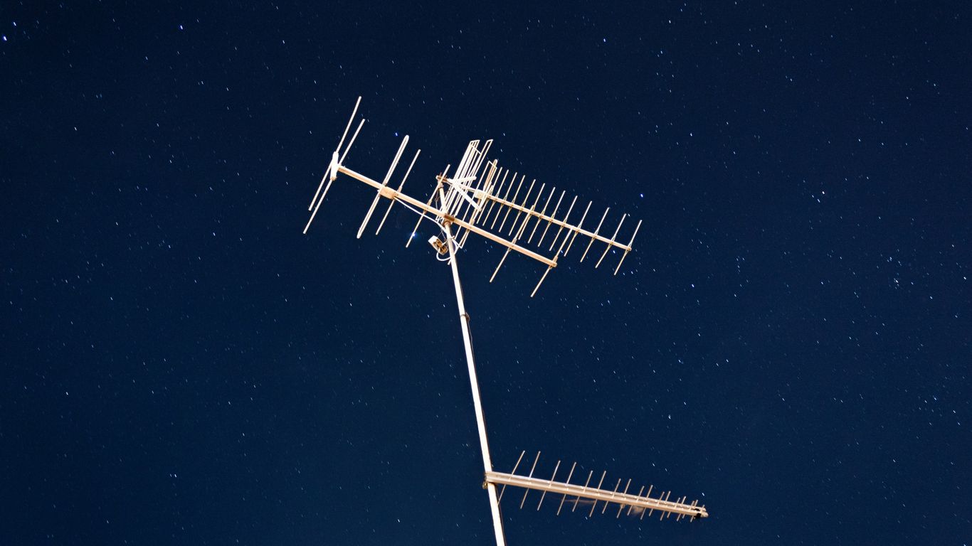
- User Segment: This is any device that picks up the signals from the satellites to figure out its location. Your smartphone’s GPS chip is a prime example.
How GPS Satellites Enable Location Services
Each GPS satellite is like a tiny, super-accurate timekeeper and mapmaker. They constantly broadcast signals that contain information about their exact position in orbit and the precise time the signal was sent. Your GPS receiver listens to these signals from multiple satellites. By measuring how long it takes for the signals to arrive, and knowing the speed of radio waves (which is constant), the receiver can calculate its distance from each satellite. It’s this distance information from at least four different satellites that allows your device to pinpoint your location.
The Role of Atomic Clocks in GPS Accuracy
This is where things get really precise. The satellites are equipped with atomic clocks, which are incredibly accurate. We’re talking about clocks that are off by maybe a second over millions of years. These clocks are synchronized with reference clocks on the ground. Even the tiniest error in time can translate into a huge error in location because the signals travel so fast. So, these super-accurate clocks are absolutely vital for making sure your GPS is giving you a location that’s actually useful, usually within a few feet of where you really are.
The Mechanics of GPS Satellite Positioning
So, how exactly do those satellites up there figure out where you are on the ground? It’s not magic, though it can feel like it sometimes. It all comes down to some clever math and physics, primarily using a technique called trilateration.
Trilateration: The Foundation of GPS
Think of it like this: if you know your distance from one point, you could be anywhere on a circle around that point. If you know your distance from a second point, you narrow it down to two possible spots where those circles cross. Add a third point, and you usually get just one spot left. GPS uses this same idea, but in three dimensions, and with satellites instead of ground points.
The Importance of Multiple Satellite Signals
Your GPS receiver needs to ‘hear’ from several satellites to get a fix on your location. Why? Because each satellite sends out a signal that includes its exact location and the precise time the signal was sent. Your receiver measures how long it takes for that signal to arrive. Knowing the speed of light (which is how fast the signal travels), it can calculate the distance to that satellite. But here’s the catch: to pinpoint your position accurately, you need more than just distance; you need to account for the timing errors in your receiver’s own clock.
This is why signals from at least four satellites are generally needed. The receiver uses the distance information from these satellites to solve a set of equations. These equations help figure out your three-dimensional position (latitude, longitude, and altitude) and also correct for any slight inaccuracies in your receiver’s internal clock. If you could somehow have a perfectly synchronized clock in your receiver, three satellites might be enough, but that’s not practical for everyday devices.
Calculating Position in Three Dimensions
Here’s a simplified look at what’s happening:
- Satellite Broadcasts: Each satellite constantly sends out its ID, its precise orbital position, and the exact time the signal left the satellite. This is all based on super-accurate atomic clocks.
- Signal Reception: Your GPS device picks up these signals from multiple satellites that are visible in the sky.
- Time Difference Calculation: The receiver compares the time the signal was sent (from the satellite’s data) with the time it was received (according to its own clock).
- Distance Estimation: Using the speed of light, the receiver calculates the distance to each satellite based on that time difference.
- Solving the Equations: With distances from at least four satellites, the receiver can solve a system of equations to determine your X, Y, and Z coordinates (your position) and also the error in its own clock’s timing.
It’s a bit like solving a puzzle. The more satellite signals you get, and the better spread out they are in the sky, the more precise your final location will be. If the satellites are all clustered together in one part of the sky, the accuracy can suffer a bit – this is known as Geometric Dilution of Precision (GDOP).
Global Navigation Satellite Systems Beyond GPS
While the United States’ GPS is what most people think of when they hear "satellite navigation," it’s not the only player in the game. In fact, there are several other global systems out there, and they all fall under the umbrella term Global Navigation Satellite Systems, or GNSS for short. Think of it like different brands of smartphones – they all do the same basic job, but they have their own unique features and origins.
Introduction to GNSS
So, what exactly is GNSS? It’s basically a general term for any satellite-based navigation system that provides positioning and timing information. These systems use a network of satellites orbiting Earth to send signals down to receivers on the ground. Your phone, your car’s navigation, even some smartwatches – they all use these signals to figure out where you are. The beauty of GNSS is that it allows for more robust and reliable positioning, especially when multiple systems are used together.
Comparing GPS with Other Global Systems
GPS is the OG, developed and operated by the United States. But other countries and regions have developed their own systems, often to ensure independence or to tailor the service to their specific needs. Here’s a quick look at some of the major ones:
- GLONASS: This is Russia’s system. It was developed around the same time as GPS but took a bit longer to become fully operational globally. It now provides full coverage.
- BeiDou (BDS): China’s system has been fully deployed and offers global services. It uses a mix of satellites in different orbits to cover the world and specific regions.
- Galileo: This is a joint project by the European Union and partner countries. It’s designed to be a civilian-controlled system and has been operational for a while now.
- NavIC (India): India has its own regional system, primarily for use within its borders and surrounding areas.
- QZSS (Japan): This is more of an augmentation system for GPS in the Asia-Oceania region, but it’s working towards independent navigation capabilities.
The Benefits of Multi-System Receivers
Why should you care about these other systems? Because modern receivers can often talk to more than one GNSS at a time. This is a big deal. If your receiver can pick up signals from GPS, GLONASS, and Galileo, for example, it has a lot more satellites to choose from. This can lead to:
- Faster fixes: Your location is determined more quickly.
- Improved accuracy: With more signals, the system can pinpoint your position more precisely, even in tricky environments like urban canyons where signals might bounce around.
- Increased reliability: If one system has a temporary issue or a satellite is blocked, others can still provide the necessary data.
It’s like having multiple friends giving you directions instead of just one – you’re more likely to get to your destination accurately and without getting lost.
The Evolution and Impact of GPS Technology
A Brief History of GPS Development
It’s pretty wild to think about how GPS, something we use every single day, started out as a military project. Back in the early 1970s, the U.S. Department of Defense was looking for a better way to navigate than what they had. They pulled together ideas from older systems and some pretty classified studies from the decades before. The goal was to create a system that could pinpoint locations accurately, no matter where you were. The first satellites, a constellation of 24, were launched, and the whole thing became fully operational for the military in 1993. But here’s the cool part: even in the 1980s, they started letting civilians use it. This dual-use approach really set the stage for how we use GPS today.
Civilian Access and Widespread Adoption
For a long time, the military had a "Selective Availability" feature turned on, which intentionally made the civilian signal less precise. It was like they were holding back the full power. But in May 2000, that all changed. President Clinton decided to turn it off, and suddenly, everyone with a GPS receiver got access to a much more accurate signal. This was a huge deal. It opened the floodgates for all sorts of new applications and made GPS way more useful for everyday folks. Think about it: suddenly, car navigation systems, hiking apps, and even basic location services on your phone became a lot more reliable.
GPS Applications in Modern Life
Honestly, it’s hard to imagine life without GPS now. It’s not just about finding your way around town anymore. Think about:
- Logistics and Delivery: Companies use GPS to track their fleets, optimize routes, and make sure packages get to you on time. It’s a massive part of the global supply chain.
- Agriculture: Farmers use GPS for precision farming, guiding tractors to plant seeds or spray fertilizer exactly where it’s needed, saving resources and boosting yields.
- Emergency Services: When you call for help, GPS helps first responders find your exact location quickly, which can be a lifesaver.
- Timing: Those super-accurate atomic clocks in the satellites don’t just help with location; they provide precise timing signals used in everything from financial networks to power grids.
It’s pretty amazing how a system designed for military navigation has become so deeply woven into the fabric of our daily lives, impacting everything from how we get our coffee to how we manage critical infrastructure.
Challenges and Considerations for GPS
Even though GPS is pretty amazing and we use it for all sorts of things, it’s not perfect. There are definitely some bumps in the road, so to speak, that can mess with how well it works.
Environmental Factors Affecting Signal Reception
Think about trying to get a signal inside a really dense forest or deep in a canyon. It’s tough, right? The same goes for GPS. Big buildings in cities can block the signals, or worse, bounce them around before they reach your phone or car. This bouncing, called multipath interference, can make the system think you’re somewhere you’re not. It’s like trying to hear someone whisper in a crowded room – the message gets distorted.
Here are a few things that can really mess with GPS signals:
- Tall Buildings: They can block signals or cause them to reflect.
- Dense Foliage: Thick trees can weaken or completely stop the signals.
- Underground Locations: Tunnels or basements are pretty much a dead zone.
- Weather: Heavy storms can sometimes interfere, though this is less common.
Ensuring GPS Data Integrity and Security
Beyond just the environment, we also have to think about keeping the GPS information accurate and safe. It’s not just about knowing where you are, but trusting that information. Bad actors can try to mess with the signals, either by jamming them (making them disappear) or spoofing them (sending fake signals to trick your receiver into thinking it’s somewhere else). This is a big deal for things like aviation or even just your car’s navigation.
To combat these issues, there are a few strategies:
- Signal Encryption: Making the signals harder to intercept or fake.
- Firmware Updates: Keeping the software in your GPS device up-to-date helps patch security holes.
- Backup Systems: Using other navigation methods or sensors alongside GPS can provide a safety net.
The Future of GPS Satellite Technology
So, what’s next for GPS? Well, the system is always being updated and improved. The ground control systems are getting a major overhaul, which has seen some delays, but is meant to make the whole network more robust. Plus, with other global navigation systems out there, like Europe’s Galileo and Russia’s GLONASS, the future likely involves receivers that can use multiple systems at once. This multi-system approach can improve accuracy and reliability, especially in tricky spots where one system might struggle. It’s all about making sure we can get where we need to go, no matter what.
The Invisible Network That Guides Us
So, there you have it. That whole system of satellites whizzing around up there? It’s pretty amazing when you think about it. It’s not just for finding the quickest way to the grocery store anymore. From helping big delivery trucks stay on schedule to making sure your phone knows exactly where you are, GPS is quietly working in the background of so many things we do every day. It’s become a pretty big deal, and it’s only going to get more integrated into our lives as technology keeps moving forward. Pretty wild how something so far away can have such a direct impact right here on the ground.