
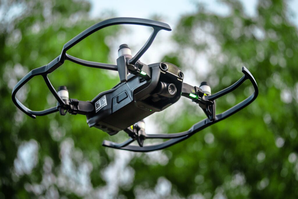
Drones have made a significant impact on the U.S. Military and its operations around the globe. From humanitarian missions to locating downed pilots, these versatile machines have provided much-needed assistance for service members. Now they are also helping civilian agencies in many ways. Here are some of the newest uses for these intelligent aerial devices:
Surveying the Ground Using Unmanned Aerial Vehicles: More frequently, drones are being used for Surveys and Mineral exploration. Drones are now being used for soil, surface, and mineral mapping. These high-altitude imaging systems are very precise, enabling them to scan large areas and produce very high-resolution maps. This allows for the creation of topographical maps and the recording of regional land boundaries and topography which can be used for a variety of purposes from land resource planning to urban planning and environmental management.
Security Management With Outdoor Unmanned Aerial Vehicles: As more cities see heightened security measures due to heightened crime rates and terrorist activity, drone technology is quickly advancing towards full operational status. Now high-resolution maps and video surveillance can be utilized for a wide range of situational awareness. Once fully functional, these mapping and surveying devices will allow for the detection of high-risk security threats which will then be able to be quickly and easily neutralized. The integration of drones into this new security management system is expected to produce increased situational awareness for both law enforcement and the general public. This will create a more fluid and dangerous environment, giving law enforcement the tools they need to apprehend criminals and keep the American people safe.
Emergency Medical Services Use of Unmanned Aerial Vehicles: As more first responder units around the country learn how to effectively operate and use drones for emergency medical services, this innovative technology will become even more prevalent in the future. These units will be able to provide much-needed medical care and support to casualties on the ground by collecting and transmitting vital information through the use of an appropriate internet-connected system. In the aftermath of natural disasters, the sharing of such critical data with doctors and nurses has proven time again to be effective. As more hospitals acquire the technology to operate remotely via the internet, this type of expertise will only grow in value and importance.
Surveys and Geographical Information Management: More large-scale exploratory missions will be able to be accomplished via the use of unmanned aerial vehicles. This is especially important when it comes to mapping. No longer will missions be lost or misrouted because of bad weather conditions. Drone mapping has the potential to make great advancements in all aspects of surveying as well as geography.
This list illustrates just a few of the applications and uses of UAVs (unmanned aerial vehicles). As the years pass, we will continue to see the amazing potential that UAVs hold for our future. As organizations invest in the necessary infrastructure, software, training, and support, they will soon be able to take on more complex and challenging tasks. As organizations move away from traditional ways of conducting business, they will also begin to embrace the possibilities provided by drone technology.